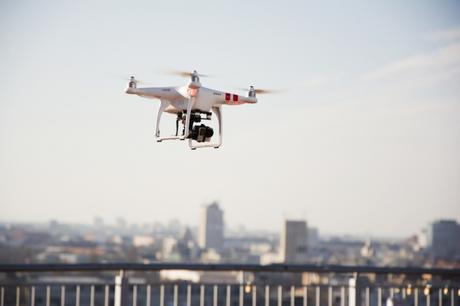
Aeronautics enthusiast Ariel Seidman has developed a real-time community-fed mapping tool designed to encourage widespread take-up of drones.
Digital mapping has profoundly altered our relationship with the world. You can now visualise in great detail almost any place around the globe from your computer or your smartphone, which completely changes the way we relate to geography and to the unknown. Digital mapping means that you can plot a journey precisely, plan your itinerary according to time or geographical criteria, and juggle between various modes of transport - your own car, a bicycle, public transport, etc. Today it is truer than ever that maps determine our relations with the terrain.
Today you can find maps geared to most of the means of transport available to us. However, this does not yet apply to unmanned aerial vehicles, aka drones, despite the fact that many people see them as one of the major innovations of the early 21st century. This is mainly because UAVs - which still need to overcome at least one or two legal obstacles - have not yet achieved mass adoption. In this situation, former Oracle and Yahoo software developer Ariel Seidman is convinced that having appropriate navigation tools could do a lot to foster drone use. The San Francisco-based aeronautics enthusiast has just unveiled his latest venture. Entitled Hivemapper, this is basically a 3D mapping tool designed specifically for UAVs. Seidman explains: ‟Google Maps is a great tool if you're driving or on foot, but a drone has completely different needs. In a car, road traffic data is vital, but this is not the case for a drone. On the other hand, the layout of buildings and power lines is essential information."
Modelling the world to suit drones
A Hivemapper map plots the world in 3D, showing various items likely to affect a drone in flight - buildings, high-voltage power lines, trees, all kinds of vehicles, no-fly zones, etc. Following the approach popularised by community-based traffic and spatial navigation app Waze, users can provide extra input to the map by indicating the presence of any temporary obstacles such as balloons and helicopters. The app, which Ariel Seidman claims will work with the most popular models of drone, is downloadable free of charge. At the moment it is only available in the United States, where Hivemapper has mapped over 20 million building boundaries, more than 10 million building heights, tens of thousands of no-fly zones across the country, plus waypoints, viewpoints, potential landing spots and a huge number of other points of interest. The company now intends to test and make improvements to the app in the US before launching it worldwide

Will drones soon be an integral part of our daily lives ?
An aviation enthusiast, Ariel Seidman reveals that his main reason for embarking on this venture is his belief that UAVs can help to generate a new wave of innovation in aeronautics, an industry which has recently lost some of its past dynamism when it comes to research. ‟ In many respects we're still flying the way people did in the 1950s. Planes have got faster, and their interiors are more modern, but the pilot's job has remained more or less the same for years," he points out.
He believes that drone use will quickly become much more widespread once the general public come to realise just how useful they are: ‟ If you look only at transporting merchandise, more and more people now do their shopping online, and this trend isn't likely to be go into reverse any time soon. But there are simply not enough vehicles to deliver these goods in the traditional way, which is why we're going to need drones. Today quite a lot of people might be scared of them, but things will change when they realise that a drone can deliver a parcel in twenty minutes for, let's say a dollar," Seidman argues, adding: ‟I believe that within five years every major company will be making use of drones for one reason or another, in the same way that today no company can function without a computer."
Meanwhile, the US authorities are due to come up with new draft legislation on unmanned aerial vehicles by the end of the year.
